What we do
Services
From the environmental review that releases the funds to the inspection of the works they pay for. Each service page says which firm signs the work.
 San Juan, Puerto Rico · Est. 2009
What We Do, and Which Firm Does It
AVA Environmental Consultants prepares environmental reviews, permits, site assessments and biological studies, and verifies green buildings through AVA Green. FERPO Consulting, our sister firm, inspects and manages construction and handles federal-funds compliance.
AVA Environmental Consultants
Environmental consulting · green building · mappingEnvironmental Reviews & NEPA
HUD Part 58 environmental review records, NEPA and FEMA environmental and historic preservation support, and Section 106 consultations.
AVA Environmental Consultants ESA · ASD · EDRSite Assessments & Contamination
Phase I ESAs, desktop constraints analyses, contamination reports and explosive and flammable hazard surveys.
AVA Environmental Consultants FLORA · FAUNA · WETLANDSBiology, Wetlands & Natural Resources
Flora and fauna surveys, wetland delineation and mitigation, habitat restoration, tree inventories and vegetation management.
AVA Environmental Consultants SWPPP · SPCC · TITLE VPermits & Compliance Plans
DNER and EPA permits, USACE nationwide permits, SWPPP and SPCC plans, tank and generator licensing.
AVA Environmental Consultants LEED · NGBSGreen Building (AVA Green)
LEED consulting and verification, NGBS ICC 700 Green Verifier services and Puerto Rico’s Green Permit.
AVA Green GIS · LiDAR · KMZGIS & Geospatial Analysis
Verified site boundaries, a local library of Puerto Rico’s government map layers, LiDAR terrain analysis and exhibit-ready maps.
AVA Environmental ConsultantsFERPO Consulting, P.S.C.
Our sister firm · construction and federal fundsConstruction Inspection & Project Management
Resident inspection, payment certification, change orders, submittals and close-out, by FERPO Consulting.
FERPO Consulting, P.S.C. 2 CFR 200 · SEFAFederal Funds Compliance
Single Audit evaluations, audit readiness, financial reporting and procedures, by FERPO Consulting.
FERPO Consulting, P.S.C.How Every Project Moves
Five steps, and every step leaves evidence a reviewer can follow.
- Site
Site
One verified boundary — from the survey, the drawing or the cadastre — that every map and distance uses.
- Screen
Screen
Wetlands, floodplains, karst, habitat, contamination and tanks screened from public data around the site.
- Visit
Visit
Photos with position, measurements and checklists taken on site by our own people.
- Review
Review
Findings drafted from the evidence, checked by a second person and signed by a licensed professional.
- Deliver
Deliver
Reports, exhibits and comment responses as dated versions, tracked to the last item.
From Our Map Room
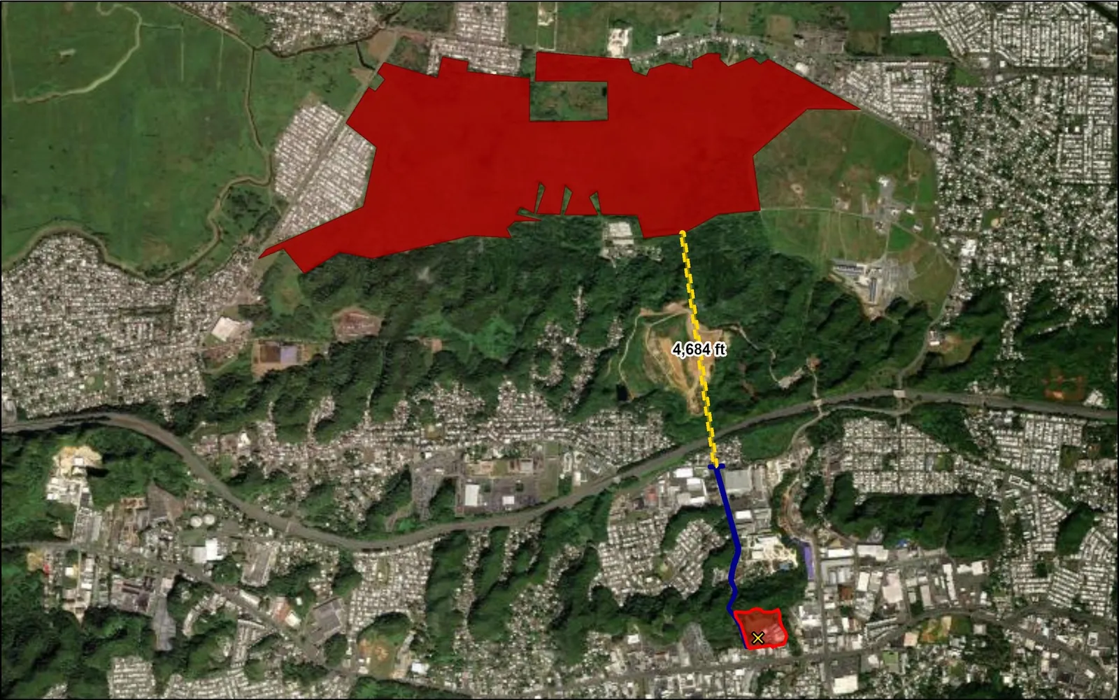
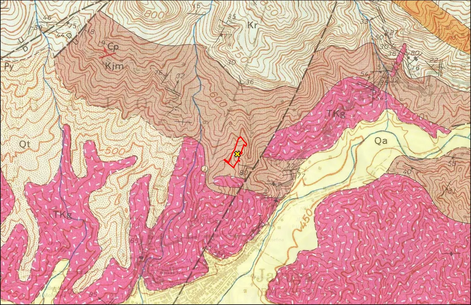
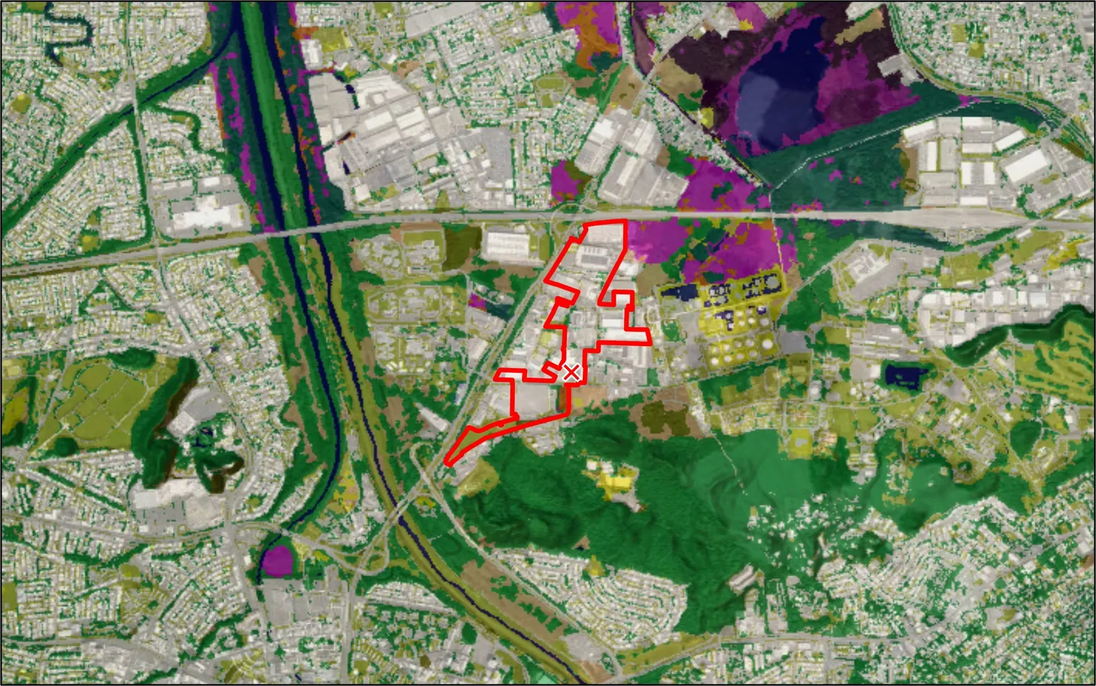
GIS and mappingEvery review starts from a verified site boundary. These are exhibits we drew for real projects.