
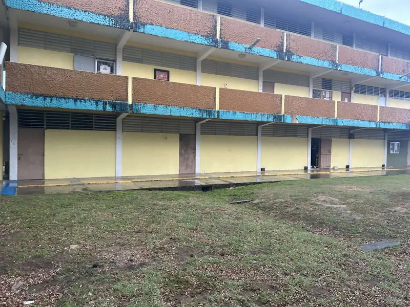
Nine Community Resilience Centers: Part 58 reviews for nine municipalities
HUD Part 58 environmental reviews for the Community Resilience Centers of nine municipalities, funded by the CDBG-DR City Revitalization Program.
GIS · LiDAR · KMZ
Every distance in an environmental review is only as good as the site boundary and the map layer behind it.
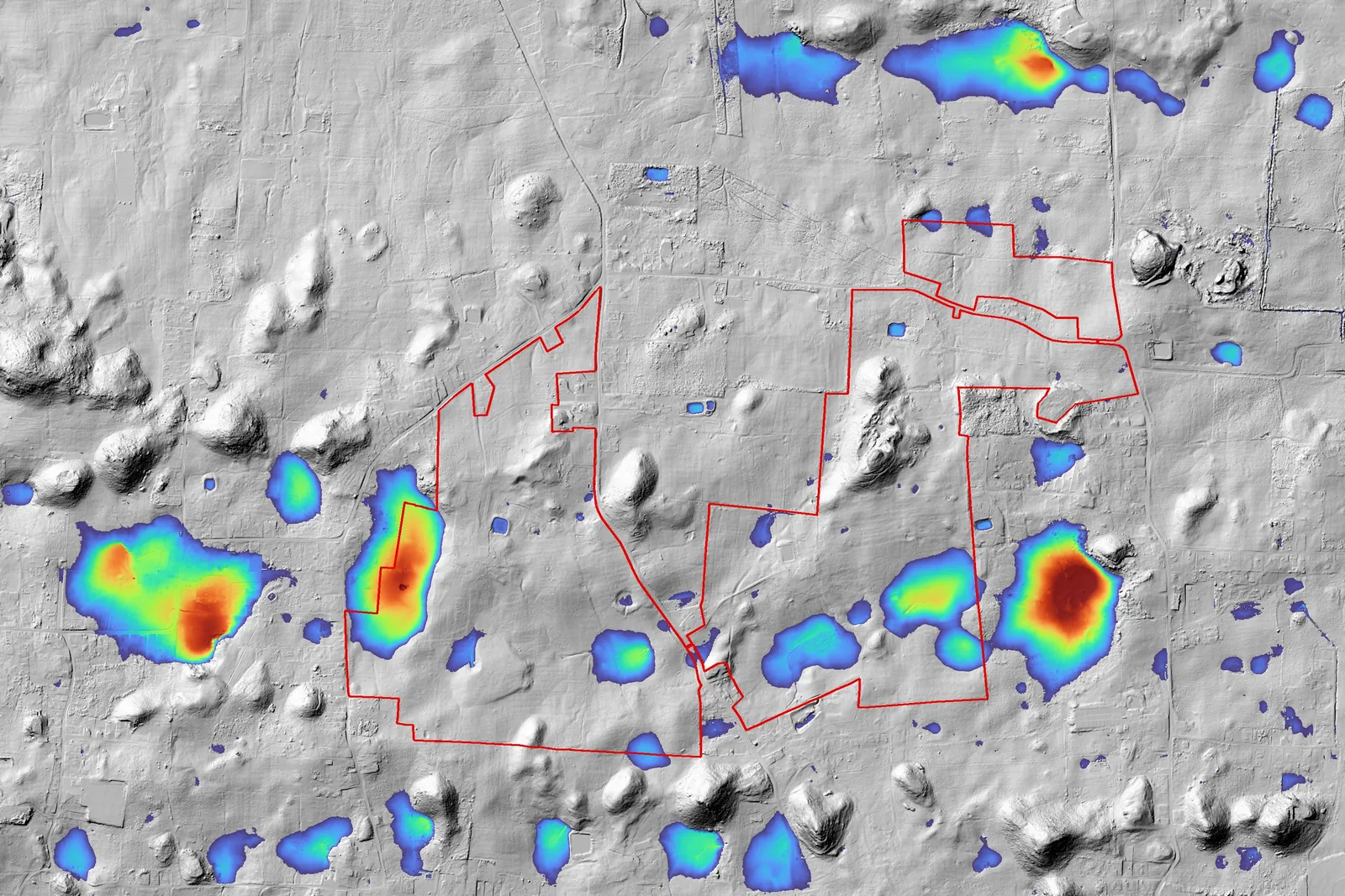 LiDAR · closed depressions
GIS is where environmental review starts. We verify each project’s boundary from the record survey, the CAD drawing or the CRIM cadastre, keep a local, verified library of Puerto Rico’s government layers, and draw every exhibit from the same geometry — so the floodplain map, the wetlands distance and the tank survey all agree.
From a scanned survey plat, a CAD drawing or a cadastral number to a verified KMZ. Survey traverses are checked to millimeters; drawings are fitted to their own coordinate grids. On one project the refit moved the boundary from 8.5 m off to within about half a meter; on another the survey exposed a cadastral parcel 16 m out of place.
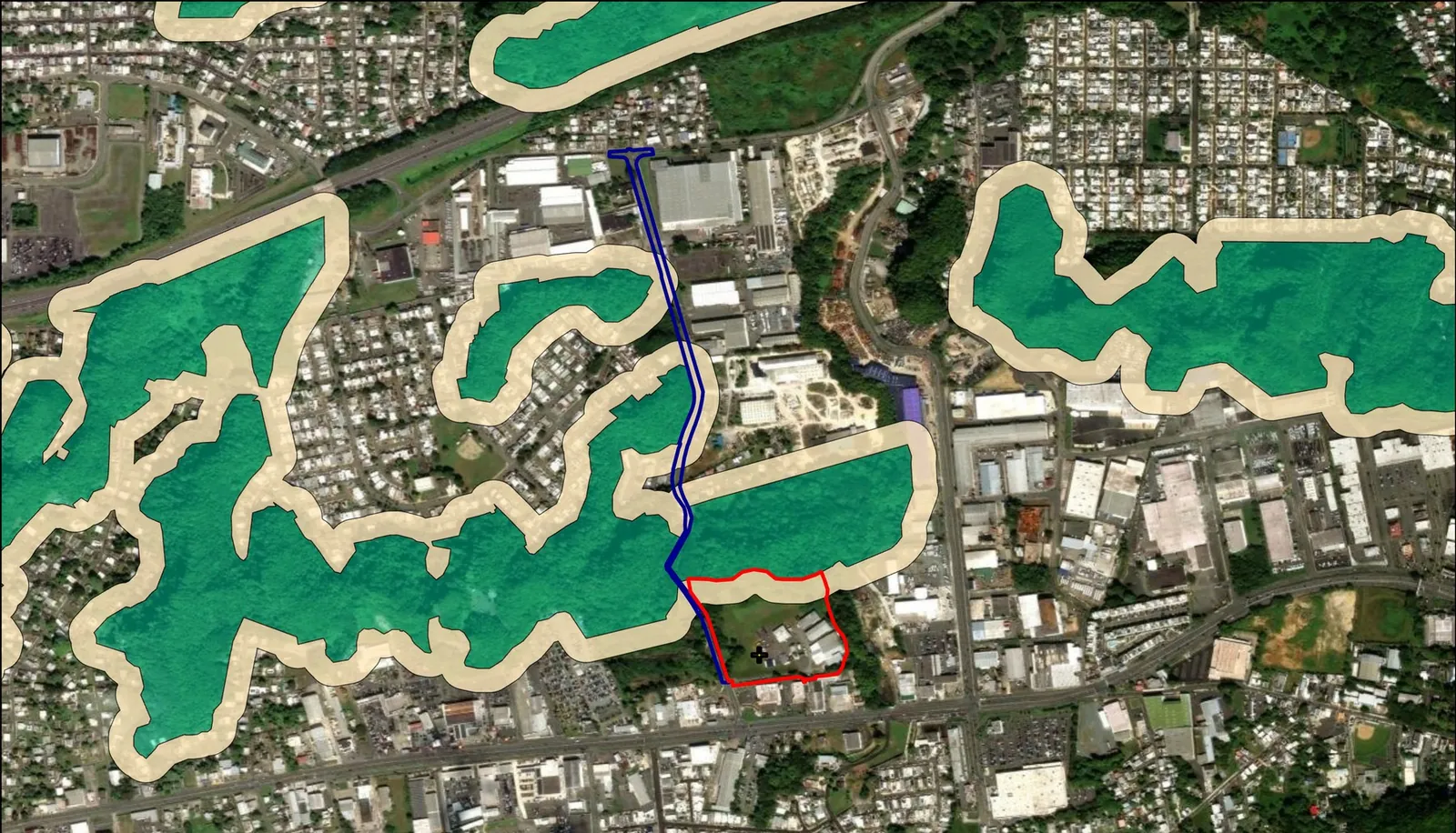
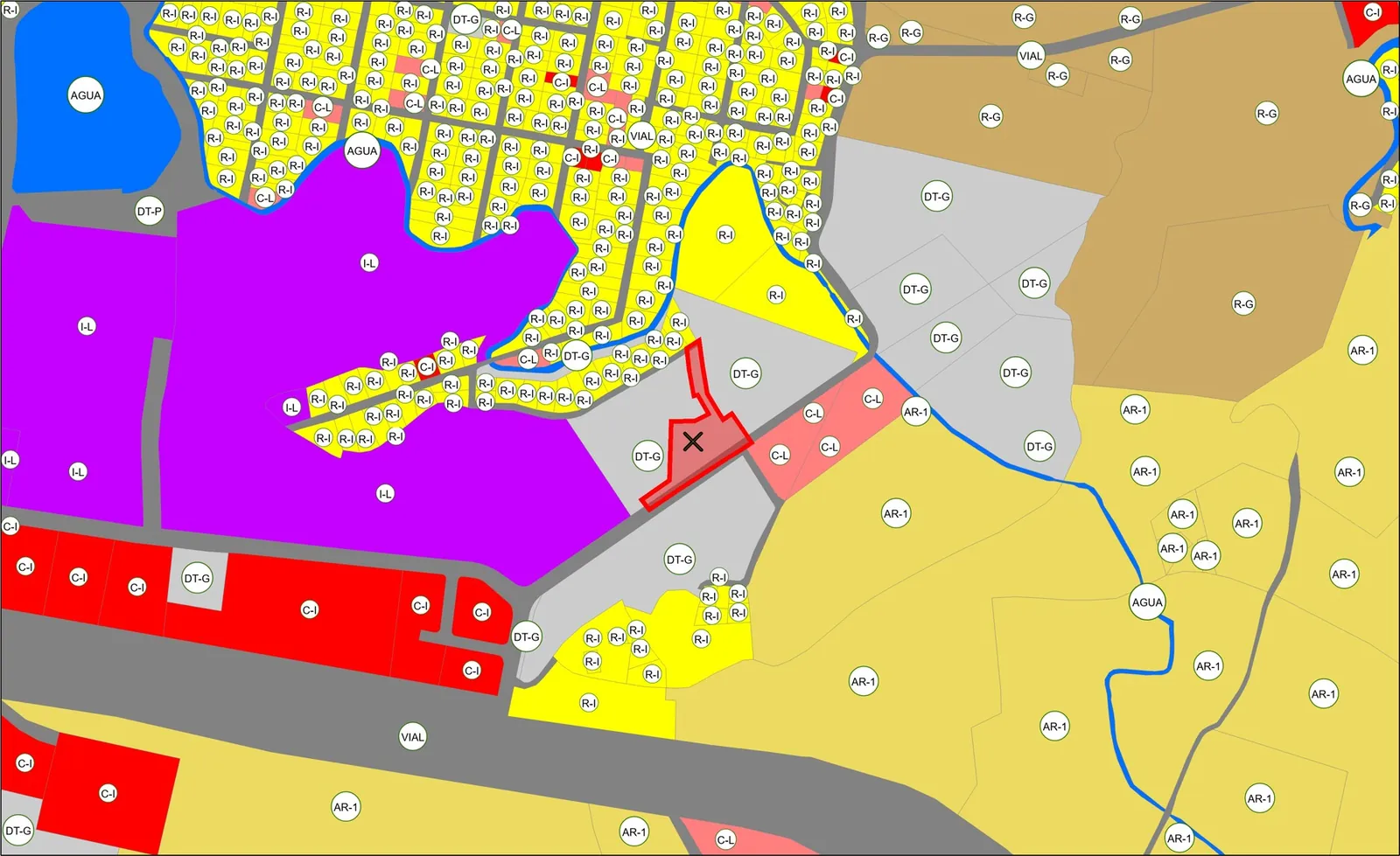
Government map servers move and fail — Puerto Rico’s Planning Board retired its old map address in October 2026. We mirror what our reviews depend on — zoning, ecological value, karst, aquifers, cultural resources, wetlands, flood zones and the tank registry — and verify each copy against its source.
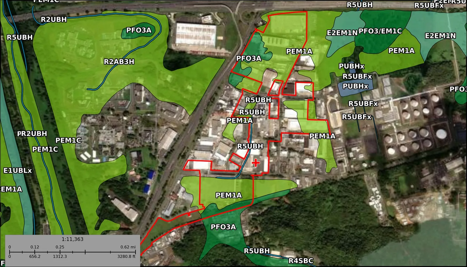
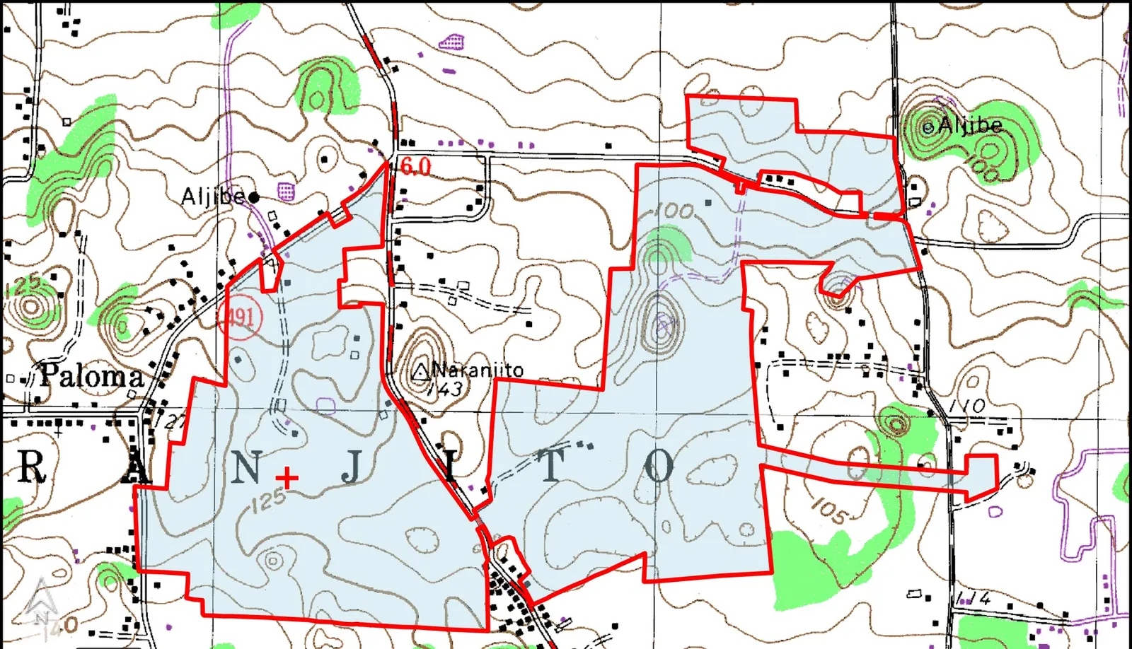
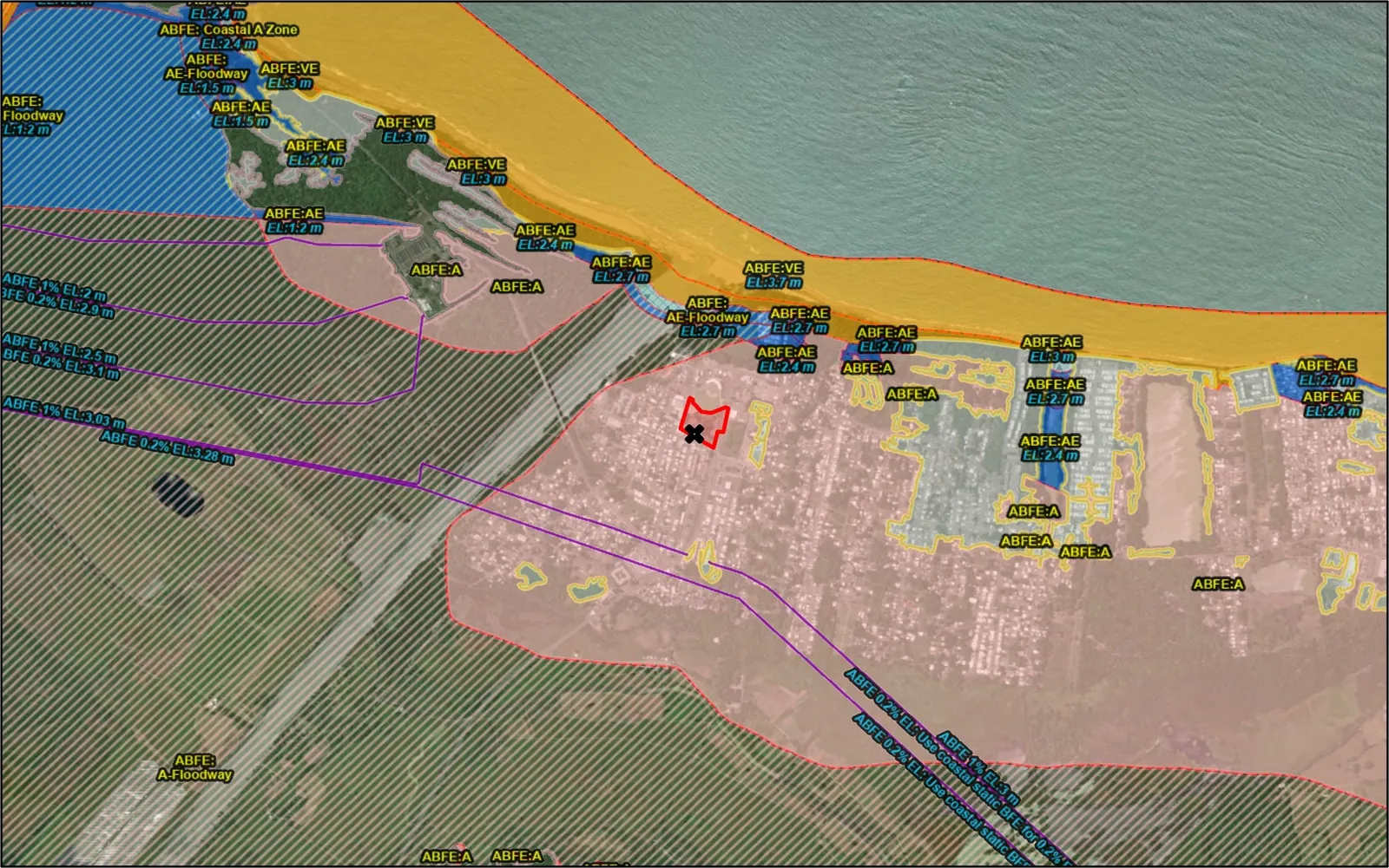
Thirty-one generators produce the exhibits an environmental review needs — FEMA flood maps, wetlands, topography, karst, critical habitat, land cover, soils and more — as PDF, Word or image, numbered to match the document.
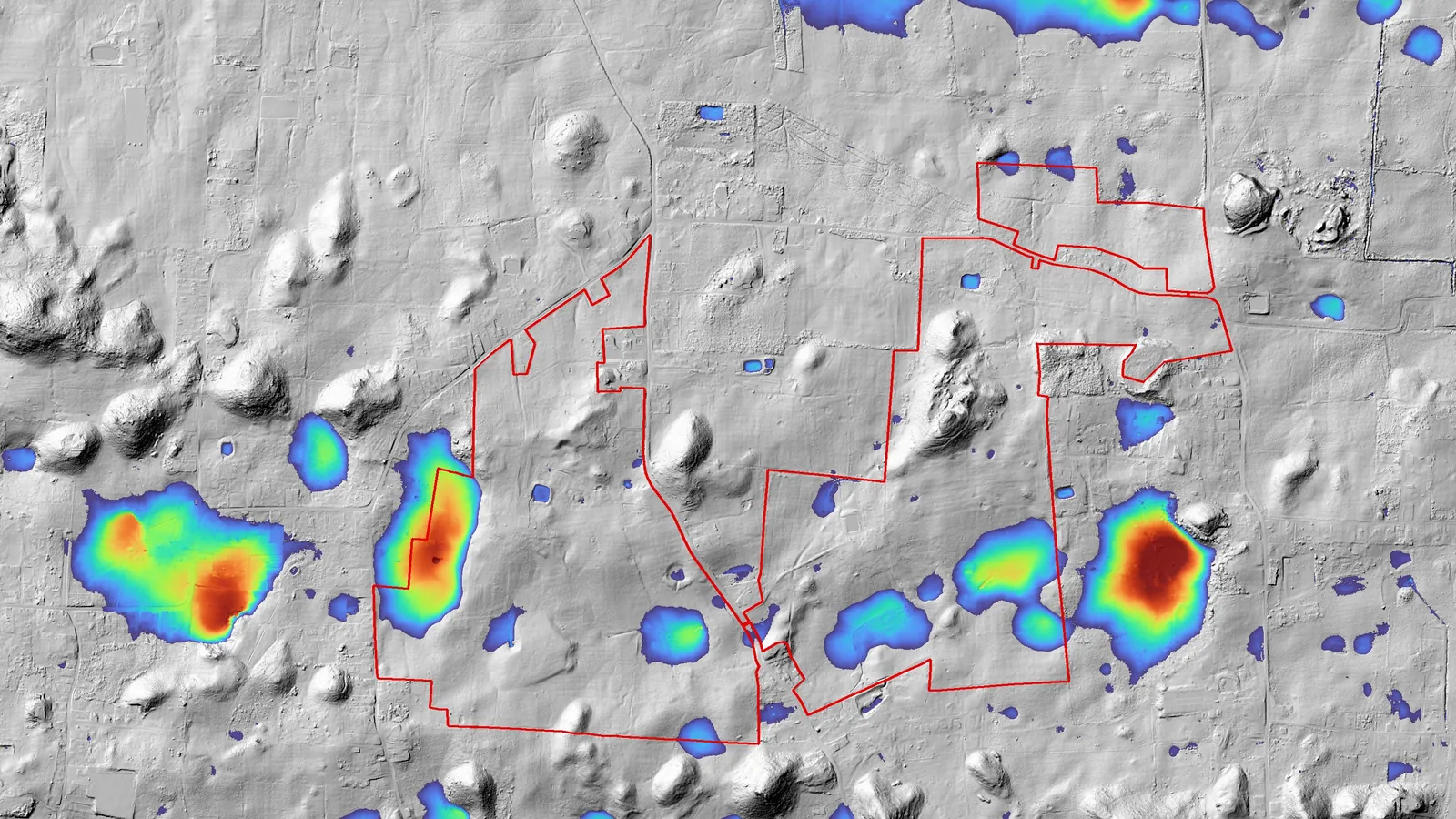
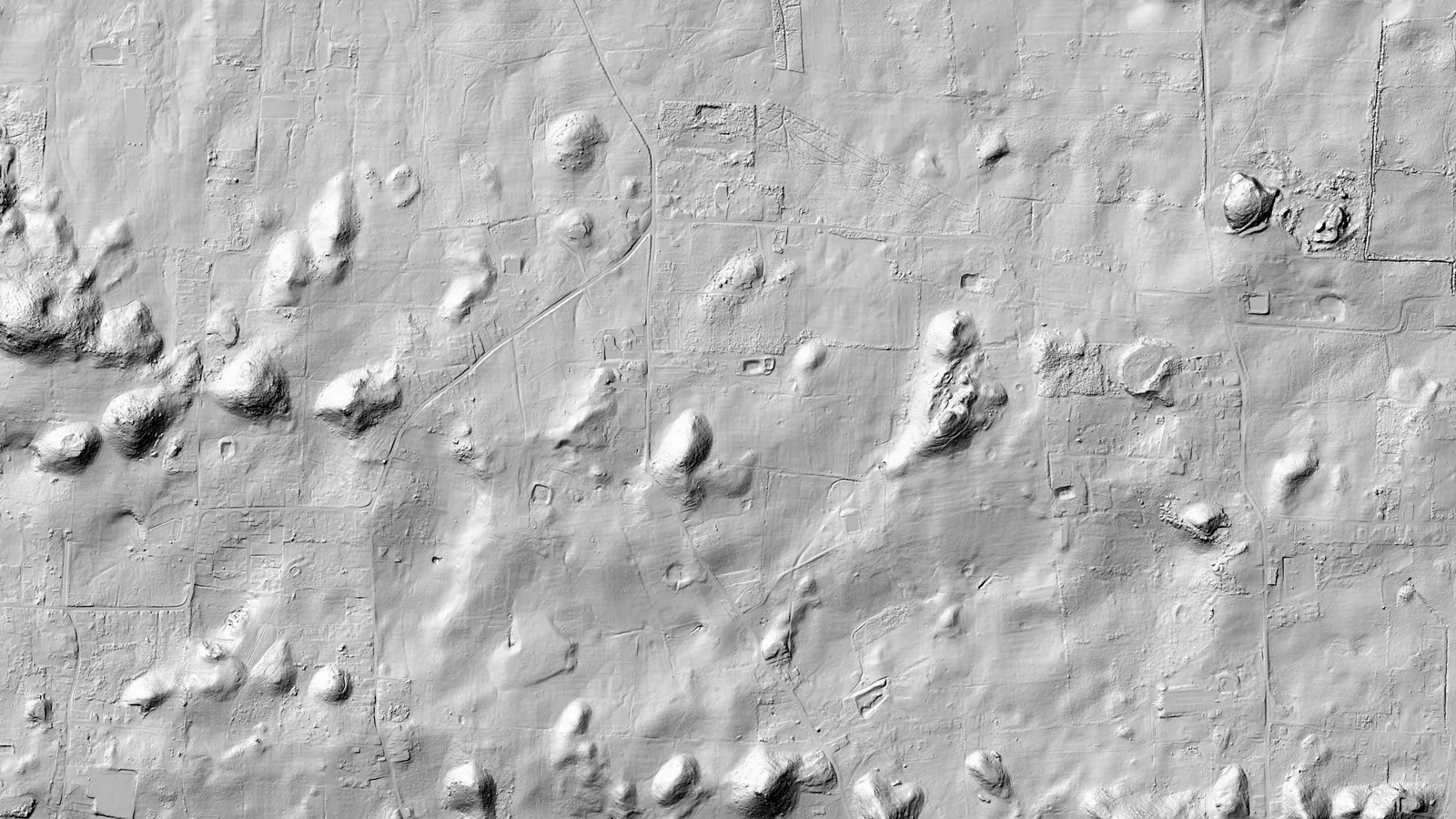
From USGS 3DEP LiDAR point clouds we build 1-meter terrain models and map closed depressions. On a 241-acre site in the northern karst the analysis classified 295 depressions in 80 seconds of processing — and showed that only 14 of 48 mapped ponds actually sit in a sinkhole.
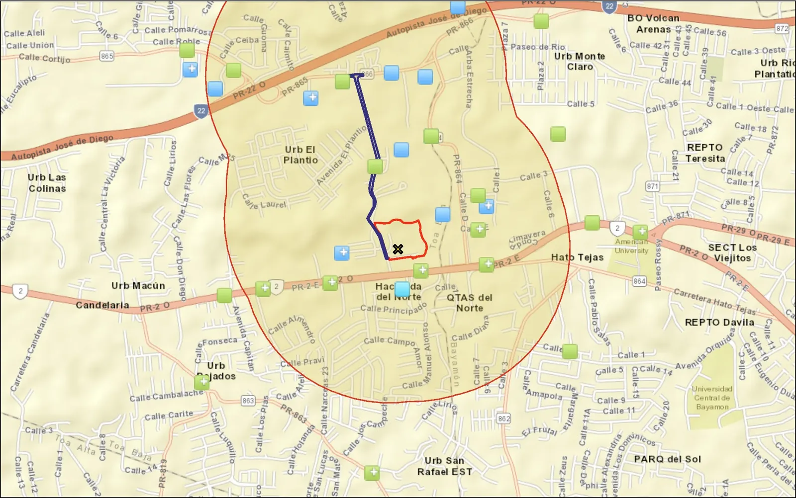
Exhibits we drew for real projects, shown here as the map frame only. Drag the handle on the first one.
HUD Part 58 environmental reviews for the Community Resilience Centers of nine municipalities, funded by the CDBG-DR City Revitalization Program.
Photos indexed, tanks calculated, maps drawn, comments tracked — a snapshot of what AVA’s digital platform has done, counted straight from its databases.
Puerto Rico’s government map services move, slow down and go offline. Here is the local, verified library of 460 catalogued layers AVA keeps so environmental reviews don’t stop with them.
Every distance in an environmental review starts from the site boundary. We found a drawing 8.5 m off and a cadastral parcel 16 m out of place — here is how we verify boundaries now.
Ready to work with us? Let’s talk.
Tell us about the site, the funding program and the deadline. The principals answer, in Spanish or English.
San Juan, Puerto Rico · Est. 2009


