

Río de la Plata flood control: environmental compliance since 2019
Permits, the erosion-control plan and a compliance inspection every month since July 2019 at the Río de la Plata flood-control works.
FLORA · FAUNA · WETLANDS
Biologists in the field, and the species measures that agencies ask for.
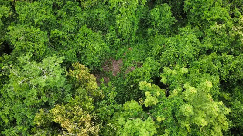 Drone survey
Our biologists survey flora and fauna, screen and delineate wetlands, inventory trees and prepare the species measures that USFWS and DNER ask for.
Since 2022 we have inspected vegetation-management, boring and repair work on transmission lines and distribution feeders across the island for Puerto Rico’s electric grid operator, with DNER’s authorization to monitor endangered species and wildlife.
Surveys that answer the consultation questions — presence, habitat, avoidance and minimization measures — with photographs and georeferenced observations.
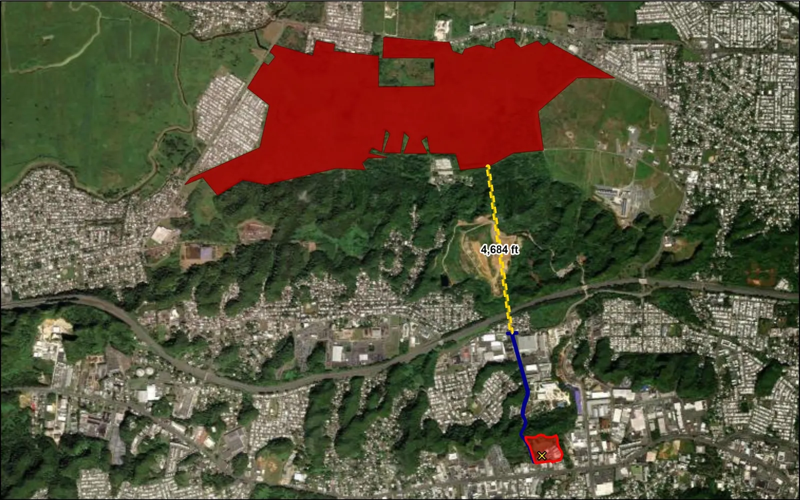
Delineation, permitting support, mitigation planning and restoration monitoring, including tree mitigation for road projects.
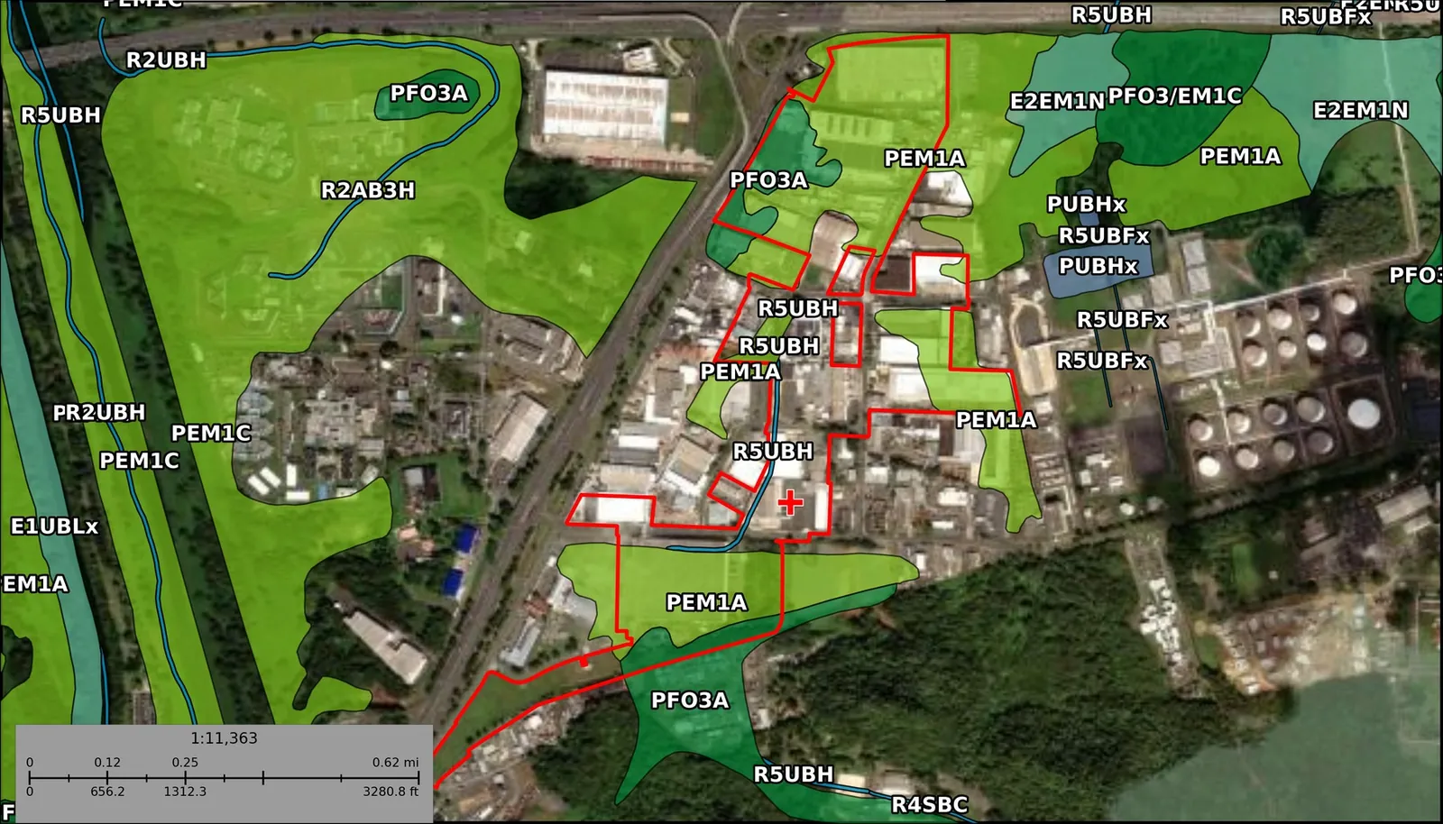
Before crews clear vegetation, drill borings or repair towers, our biologists survey the line for protected species and report what must be avoided.
In karst country the terrain itself matters: a 1 m LiDAR terrain model shows the sinkholes and closed depressions that decide siting, drainage and groundwater. See GIS & Mapping.
Led by Alejandro Cubiñá, lead biologist.
Permits, the erosion-control plan and a compliance inspection every month since July 2019 at the Río de la Plata flood-control works.
Puerto Rico’s northern karst hides sinkholes under vegetation. A 1-meter LiDAR terrain model mapped 295 closed depressions on a 241-acre site in 80 seconds of processing.
Ready to work with us? Let’s talk.
Tell us about the site, the funding program and the deadline. The principals answer, in Spanish or English.
San Juan, Puerto Rico · Est. 2009
